Introduction 🌍
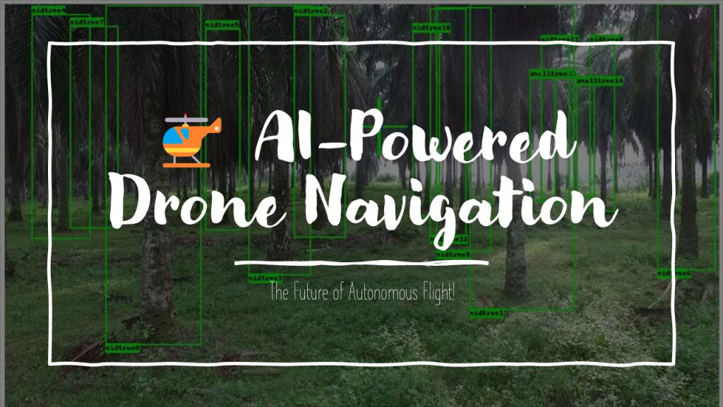
Drones have revolutionized industries like agriculture, surveillance, and delivery services. To enhance their autonomy and efficiency, integrating AI-powered navigation systems is essential. These systems use machine learning, computer vision, and real-time data processing to navigate safely and intelligently. In this guide, we’ll explore the steps to develop an AI-powered drone navigation system, covering hardware, software, and algorithm development.
1. Understanding the Key Components 🛠️
To build an AI-powered drone navigation system, we need to focus on:
1.1 Hardware Components 📡
- Flight Controller – The brain of the drone (e.g., Pixhawk, DJI N3).
- GPS Module – Provides location tracking for autonomous flight.
- IMU (Inertial Measurement Unit) – Detects orientation and motion.
- Lidar & Depth Cameras – Essential for obstacle detection and 3D mapping.
- Onboard Computer – For AI processing (e.g., NVIDIA Jetson, Raspberry Pi).
- Communication Module – Wi-Fi, 4G/5G, or RF for remote control and data transmission.
1.2 Software & Frameworks 🖥️
- Drone SDKs – DJI SDK, ArduPilot, PX4 for drone control.
- Computer Vision – OpenCV, TensorFlow, YOLO for object detection.
- AI & ML Frameworks – TensorFlow, PyTorch for deep learning models.
- ROS (Robot Operating System) – For sensor fusion and automation.
2. Developing the AI Navigation System 🧠
2.1 Sensor Integration & Data Collection 📊
Start by integrating sensors and collecting real-world flight data. This includes:
- GPS coordinates for positioning.
- Lidar depth maps for obstacle detection.
- Camera feeds for visual processing.
- IMU data for stability control.
Tools: ROS for sensor communication, Python for data processing.
2.2 Implementing Computer Vision for Obstacle Avoidance 🏔️
- Use Convolutional Neural Networks (CNNs) to detect obstacles in real time.
- Implement Optical Flow algorithms for motion tracking.
- Train a deep learning model using datasets like ImageNet or drone-specific datasets.
Example using OpenCV:
python
------
import cv2
import numpy as np

cap = cv2.VideoCapture(0)  # Accessing the camera feed

while True:
    ret, frame = cap.read()
    gray = cv2.cvtColor(frame, cv2.COLOR_BGR2GRAY)
    edges = cv2.Canny(gray, 50, 150)  # Detecting edges

    cv2.imshow("Edges", edges)

    if cv2.waitKey(1) & 0xFF == ord('q'):
        break

cap.release()
cv2.destroyAllWindows()
2.3 Path Planning with AI Algorithms 🗺️
- A Algorithm* – Finds the shortest path avoiding obstacles.
- Dijkstra’s Algorithm – Efficient for weighted environments.
- Reinforcement Learning (RL) – AI learns optimal flight paths through trial and error.
For RL, we use Deep Q-Learning:
python
------
import gym
import numpy as np

env = gym.make("LunarLander-v2")

for _ in range(10):
    observation = env.reset()
    for t in range(100):
        env.render()
        action = env.action_space.sample()
        observation, reward, done, info = env.step(action)
        if done:
            break
env.close()
2.4 Real-Time Decision Making & Navigation 🚀
Use AI models to analyze incoming sensor data and adjust drone movement accordingly.
- Kalman Filters – For sensor fusion and precise movement.
- LSTM Networks – Predict next moves based on previous patterns.
- PID Controllers – Fine-tune drone stability and flight adjustments.
3. Testing & Deployment 🛫
3.1 Simulation Before Real-World Flight 🕹️
Before flying, test the AI navigation system in simulation environments like:
- Gazebo (with ROS) – Simulates real-world physics.
- AirSim (by Microsoft) – Provides AI training for autonomous drones.
3.2 On-Field Testing & Improvements 🏞️
- Conduct test flights in controlled environments.
- Monitor drone behavior in real-time.
- Fine-tune AI algorithms based on collected flight data.
3.3 Implementing Fail-Safe Mechanisms 🛡️
- Emergency landing protocols.
- Auto-return to home if battery is low or GPS is lost.
- Collision avoidance redundancy using multiple sensors.
4. Future Enhancements & Applications 🚀
4.1 Enhancing AI Capabilities with Edge Computing 🧑💻
- Running AI models on edge devices like NVIDIA Jetson for real-time inference.
- Reducing reliance on cloud computing for lower latency.
4.2 Swarm Intelligence for Coordinated Flight 🐝
- Using AI to control multiple drones for search & rescue, agriculture, or surveillance.
- Implementing multi-agent reinforcement learning (MARL) for cooperative flight.
4.3 Integration with 5G & Cloud AI ☁️
- Faster data transmission with 5G networks.
- Real-time cloud processing for complex AI tasks.
Conclusion 🎯
Developing an AI-powered drone navigation system requires a combination of hardware, AI algorithms, and real-time processing techniques. By integrating computer vision, reinforcement learning, and intelligent decision-making, drones can navigate autonomously with greater precision and efficiency. With ongoing advancements in AI and edge computing, the future of autonomous drones looks incredibly promising!


